

Entering the ice sheet, on the way to Joklasel.

On the Vatnajökull ice sheet, on our way to the Grímsvötn's caldera, with my friend Björn Hróarsson - August 2, 2016.

18 hours of driving on the ice cap with 'Extreme Iceland 1'.
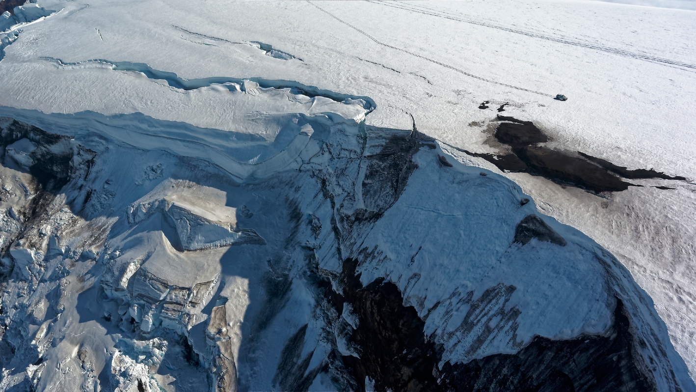
On the frindge of the Grímsvötn's caldera (drone photography).
On the rim of the caldera - the car give the size (drone photography).
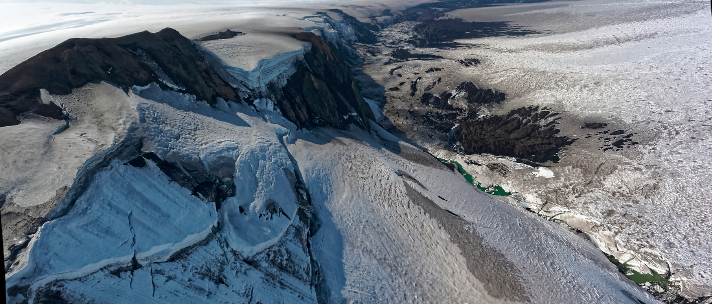
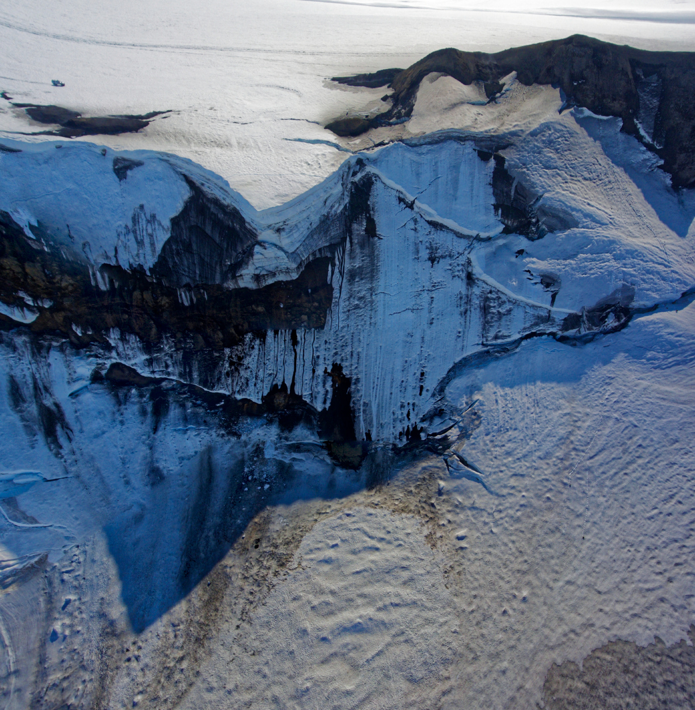
Picture of the caldeira rim - (drone photography).
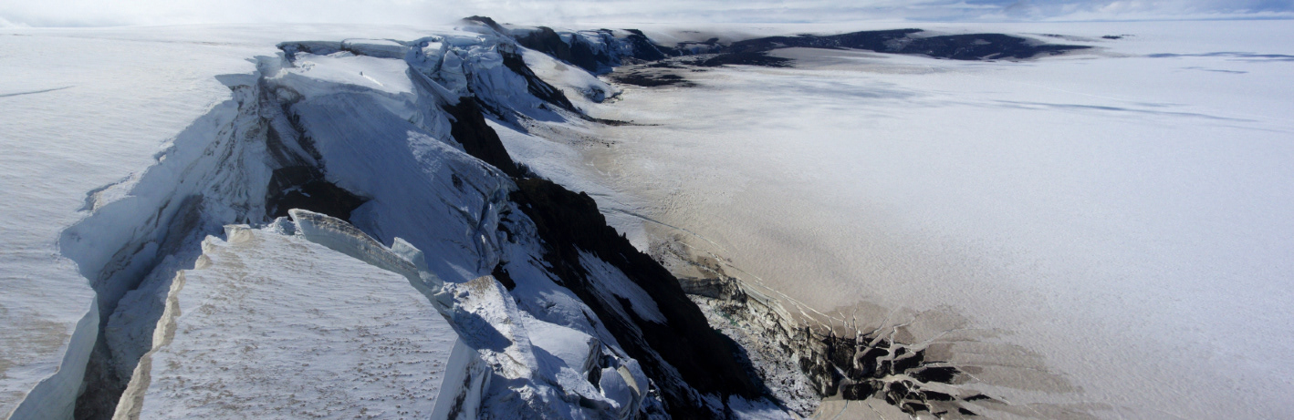
Looking West at the ice cauldron (drone photography).
Looking East (drone photography).

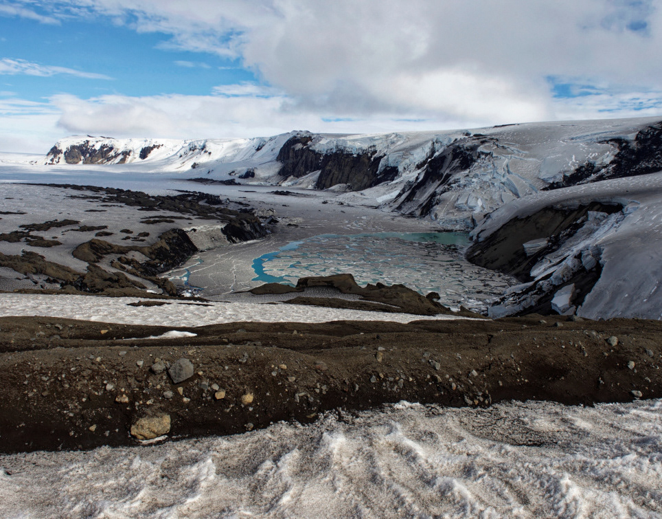
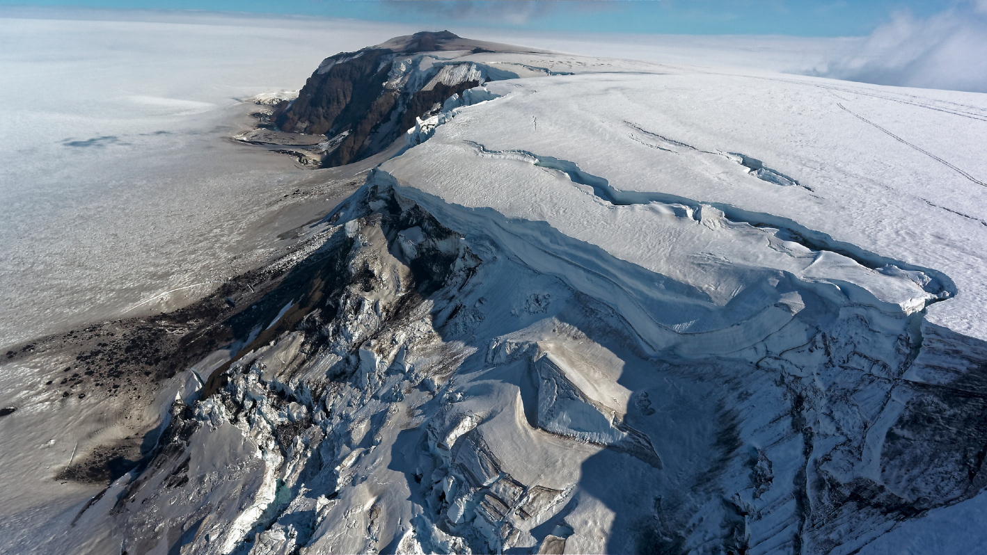
Global view of the caldera (from the cottage).


On our way back, crossing small ice cracks with 'Extreme Iceland 1'.
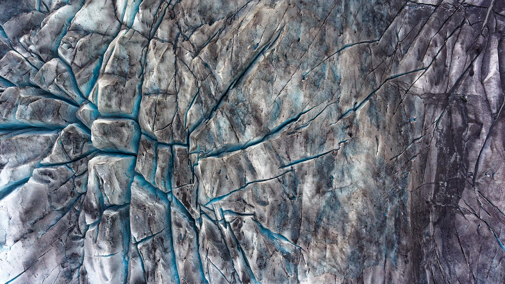
Deep cracks on the ice sheet (drone photography).
Grímsvötn is a volcano in South-East Iceland. It is located in the northwestern side of the Vatnajökull ice-cap. The caldera is at 64°25′N 17°20′W, at an elevation of 1,725 m. Grímsvötn lies beneath the Vatnajökull ice cap, which is the largest glacier in Europe (120 km by 90 km by 900 m thick).
We published a book on Iceland and a book on volcanoes:
A) Detay M., Detay A.-M. — Islande - splendeurs et colères d’une île. Belin Ed. 208 p. (2010). ISBN 978-2-7011-5762-7 here
B) Detay M., Detay A.-M. — Volcans - de feu et d'eau. Belin Ed. (2013). ISBN 978-2-7011-7561-4 here
A) Detay M., Detay A.-M. — Islande - splendeurs et colères d’une île. Belin Ed. 208 p. (2010). ISBN 978-2-7011-5762-7 here
B) Detay M., Detay A.-M. — Volcans - de feu et d'eau. Belin Ed. (2013). ISBN 978-2-7011-7561-4 here
We wrote a paper about Iceland and the Grímsvötn:
1) Detay M., Hróarson B. — L’Islande une île extraterrestre, in LAVE, revue de l’association de volcanologie européenne, 195, September 2019, 9-18 (2019). You can download the paper here